Stop resurveying tiles that haven't changed.
National Change Alerts checks every tile of your basemap against continuous high-resolution imagery and hands you a ranked list of the ones that have drifted. The rotation becomes a worklist.
- GSD
- 0.5–2 m (High)
- Cadence
- Continuous
- Platform
- High-res satellite
- Spectral
- RGB
Where the rotation runs out
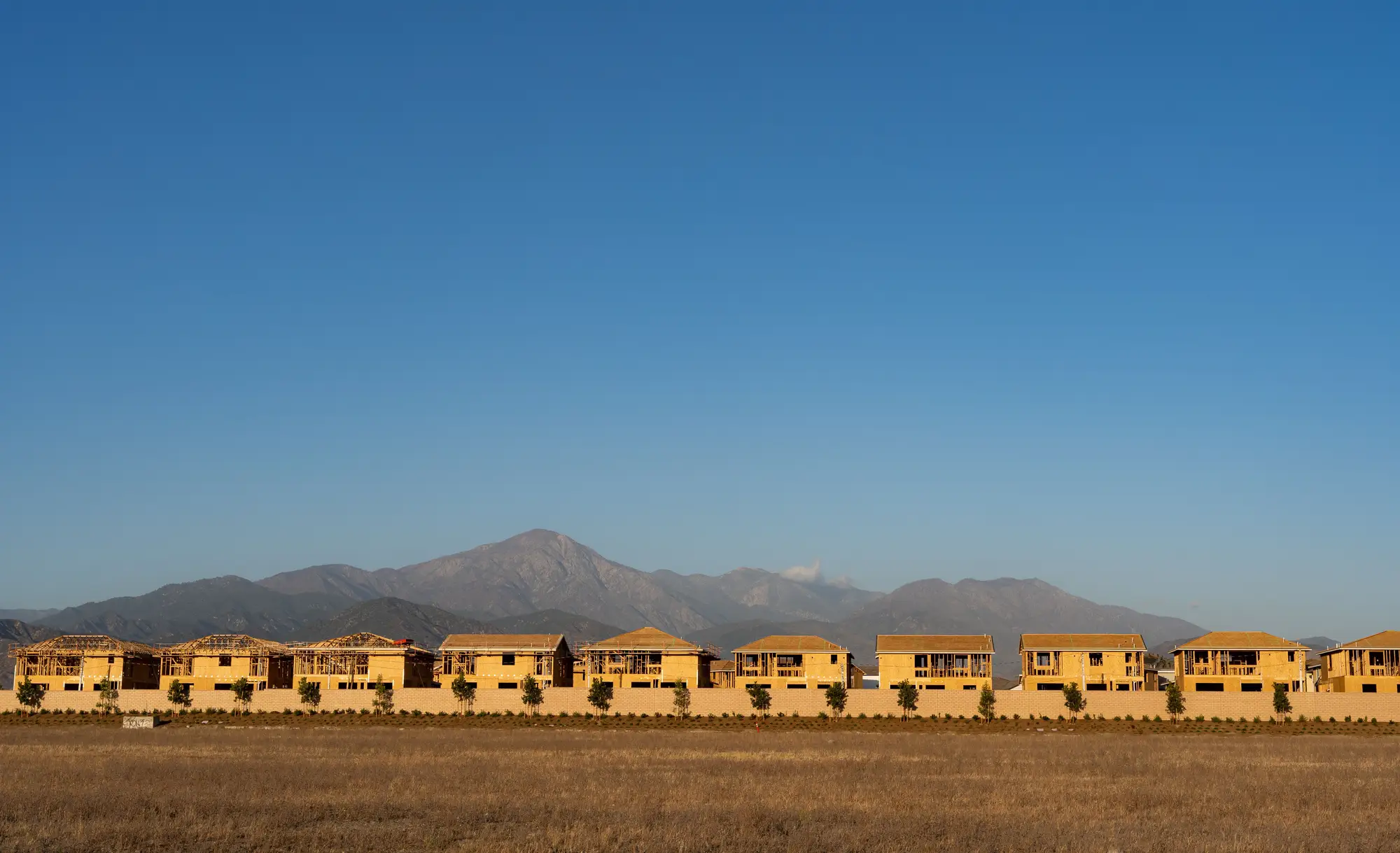
Every tile comes round on its turn. A crew is tasked, drives out, walks the tile, and sometimes comes back with nothing to edit. Meanwhile a new estate, a bypass or a quarry extension sits inside a tile whose turn is still a long way down the rotation, and the basemap says it is open country.
You get reports from councils and the public, but no one hands you the full list of where the map is wrong. So the order of work is set by the calendar rather than by the ground, and you cannot tell which tiles in the next edition are already out of date.
The resurvey cycle, step by step
01What gets tasked next
The fixed rotationTiles come up in the order of the revision cycle or the regional rotation, changed or not.
With National Change AlertsThe tile index ranks every tile by change score. The top of the list is what goes on the tasking board.
02Finding what changed
The fixed rotationTips from councils and the public, partner data and what a crew notices on the way past.
With National Change AlertsEvery tile is compared against the current basemap layer on continuous coverage, so the whole footprint is checked, not just the places someone reported.
03The resurvey backlog
The fixed rotationTiles wait their turn, however stale they are.
With National Change AlertsTiles that have drifted move up. Tiles with no sign of change stay down the list until they do.
04Sending the crew
The fixed rotationA crew is tasked to a tile and finds out on the ground whether anything is there to capture.
With National Change AlertsA crew goes to a tile already flagged as changed, with the change score beside it in the queue.
05Keeping the list current
The fixed rotationThe rotation is a plan made once per cycle.
With National Change AlertsThe index refreshes as new coverage comes in, so the worklist is a living queue rather than a one-off delivery.
06The survey and the map edit
The fixed rotationSurveyors capture what is on the ground and the update is made in the vector layer.
With National Change AlertsSame. A flag marks a tile where the imagery no longer matches the map, and says nothing about the cause.
Still yoursField verification, feature capture, the edit to the basemap, attributes such as ownership or addressing, and the release of the map edition.
What you get for the production queue
- Map layer
Change tile index
Every tile across the basemap footprint checked against current imagery. It lands in your GIS as a layer you can read against the tile grid, and it serves the step "what gets tasked next".
Ledger row 01: What gets tasked next - Score per tile
Change score per tile
A ranking for each tile, so triage starts with the biggest drift. It is how the top of the worklist gets chosen.
Ledger row 03: The resurvey backlog - CSV
CSV by tile ID
Tile IDs and change scores, ready to feed the production queue or the tasking board. It serves "sending the crew".
Ledger row 04: Sending the crew - Live index
Continuous refresh
The index updates as new coverage comes in, so the worklist follows the ground rather than the cycle.
Ledger row 05: Keeping the list current
How it works
- 01
You send the grid
Your current basemap tile index, and the basemap layer to compare against.
- 02
Continuous coverage
High-resolution optical imagery over your footprint, refreshed as new passes come in.
- 03
Tile by tile comparison
Each tile is compared against the current edition and given a change score.
- 04
A ranked index comes back
You get the layer and the CSV, and the next tasking round starts from the top of the list instead of the next tile in the rotation.
Limits
What the old method still does better
A survey crew sees things imagery cannot: ownership, addressing, names, classification, what a building is used for. A flagged tile says nothing on these. They stay with field survey.
Resolution floor
At 0.5–2 m a pixel is a good deal bigger than a hedge or a fence. A new building, a new road or a cleared site shows. A small outbuilding at the coarse end of the range may not. Very small changes may not show.
Cloud
Optical imagery needs clear sky. Persistent cloud over a region delays that region's refresh, not the whole index. Cadence is continuous as a target, not a promise for every tile in a given week.
A flag is not an edit
A flagged tile marks where imagery and basemap disagree. It does not name the feature, and it does not edit the map. Field verification still confirms the update.
Who it's for
Switch if
- You are a cartographic update lead at a national mapping agency with more tiles than crews to walk them
- Your resurvey cycle is set by a fixed rotation rather than by where the ground has moved
- You want the next tasking round driven by a list you can rank
Stay with the rotation if
- You need attribute changes such as ownership, addressing or zoning picked up from above
- You want the map edited without field verification
- Your basemap is small enough that every tile can be checked on the ground each cycle
Questions before you switch
Q01Does this replace our resurvey cycle?
It replaces the fixed order. Field survey still happens, but on the tiles that moved up the list.
Q02How do we check it against what our crews find?
Take a cycle you have already surveyed and compare our flags with where your crews actually found change. Tell us where they disagree.
Q03Does it catch changes to addressing or ownership?
No. It sees what is visible in optical imagery. Attributes that are not visible from above stay with field survey.
Q04What happens under persistent cloud?
That region's refresh is delayed. The rest of the index keeps updating.
Q05Does a flagged tile tell us what changed?
No. It marks the tile where imagery and map disagree. Your surveyors find the feature.
Q06What do you need from us?
Your tile index and the current basemap layer. We compare against those.
Q07Will it fit our production system?
The index comes as a map layer and as a CSV by tile ID. We don't write into your tasking board or your edit environment.
Q08Who owns the imagery and the index?
Ownership and licence terms are agreed in writing when you get started. If your legal team needs them earlier, ask.
Q09How is it bought and priced?
Price depends on the size of your footprint. Tell us how you run the basemap and we'll scope it to that.
Put your basemap on continuous watch.
Send us your tile grid and tell us how you task field survey today. We'll tell you what the index would look like for your footprint.
Get started