Blog
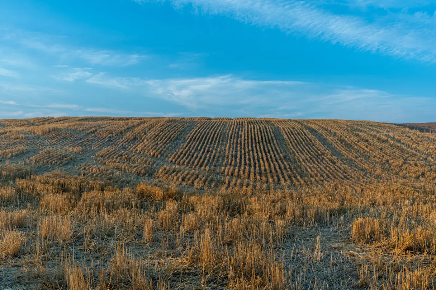 Cadastral vs. topographic revision: why the two map layers drift apart
How cadastral boundary updates and topographic feature revision diverge, and what that split means for planning the next revision cycle.
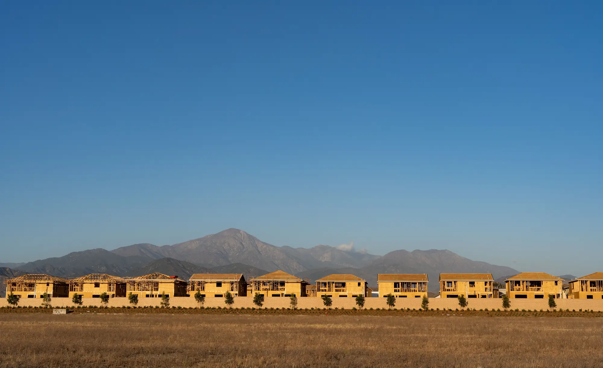 Field notes: the tile that scored high for three years running and never got walked
A field-notes look at how resurvey backlogs let the same high-change tile roll over year after year, and what that says about prioritization.
- GSD 0.5 m vs 2 m: what each resolution actually catches on a national basemap
A look at what 0.5 m and 2 m GSD imagery each resolve on a national basemap, and how that should drive your resurvey priorities.
- Cosmetic vs. structural change on a national basemap
How to tell cosmetic change from structural change on a national basemap, and a triage rule for deciding which flagged tiles need a field crew.
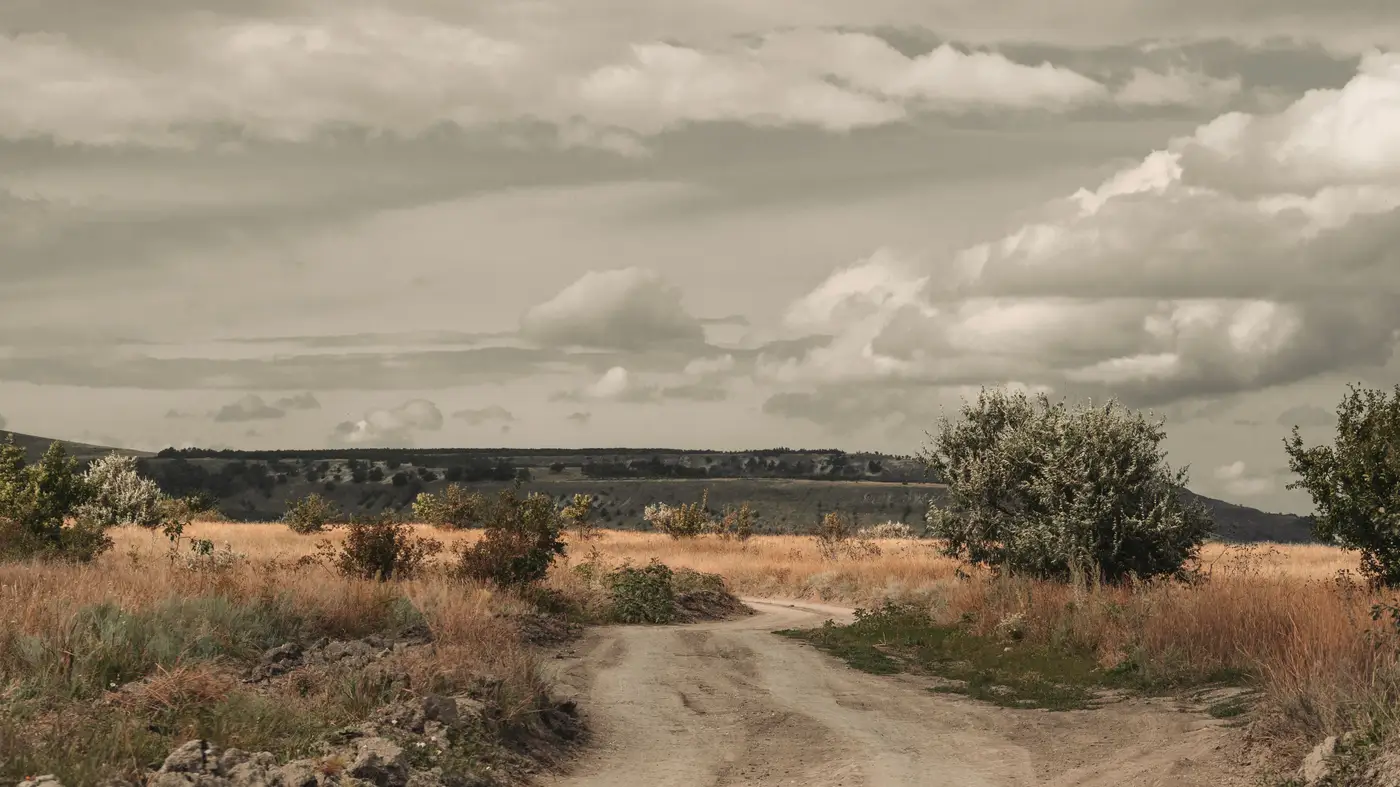 Field notes: the quiet corner of the map that never made the worklist
A field-notes look at why the slow corner of the map stays out of date longest, and what changes when the worklist runs on evidence, not schedule.
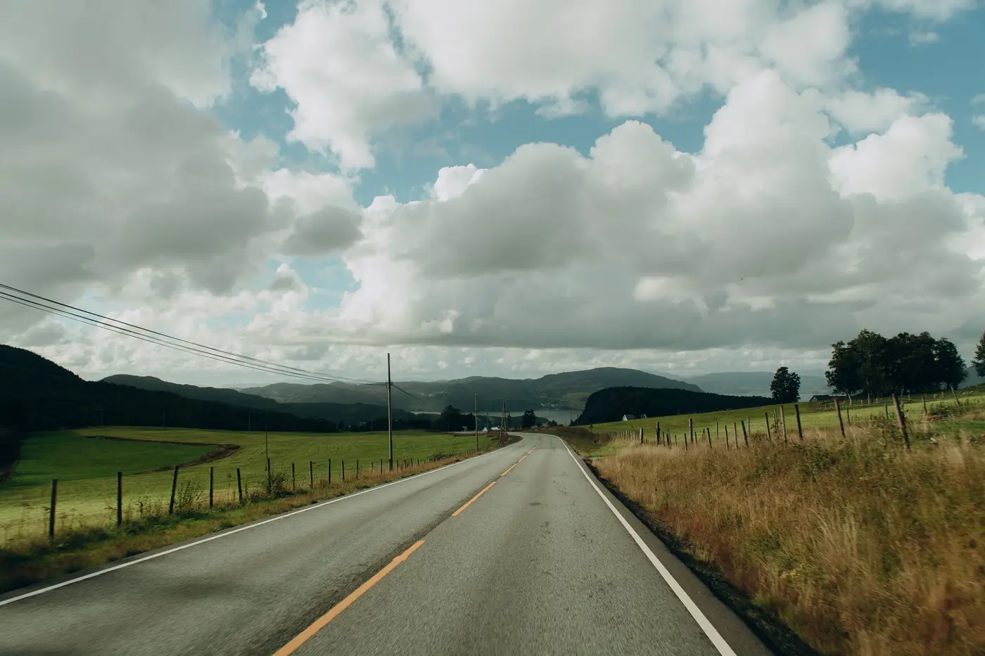 Routing survey crews when the change tiles don't touch each other
A practical approach to routing field crews across non-contiguous change tiles instead of resurveying a whole quadrangle on a fixed cycle.
- How to size survey crew-days from a change tile worklist
How to turn a change tile index into a crew-day budget, tile by tile, instead of staffing a fixed resurvey cycle on the calendar.
- Map layer vs. CSV: picking the right change tile index format
Map layer or CSV for your change tile index? How each format fits into a production GIS workflow for routing survey crews.
- The four-hour round trip to confirm nothing changed
A field-notes piece on the quiet cost of fixed resurvey cycles: crews driving hours to confirm roads that never changed at all.
 Satellite or aircraft: choosing an imagery source for topographic revision
A practical look at optical satellite imagery vs aerial photography for national topographic revision, and what it means for your resurvey cycle.
- New construction or just leaf-off season? Reading change tiles right
How to separate real topographic revision from seasonal vegetation swings when triaging change-detection tiles for field survey.
- What a change tile index is, and how it differs from an orthophoto mosaic
A change tile index is a scored worklist of tiles that no longer match the ground, built from optical coverage compared to the basemap.
- How to screen false positives out of a change tile worklist
A field lead's guide to telling real ground change from cloud shadow, seasonal vegetation, and construction tarps before a crew gets dispatched.
- Attribute currency vs. positional accuracy in topographic revision
Attribute currency and positional accuracy fail differently in topographic revision. Here's how database maintenance programs tell them apart and act on each.
- Fixed revision cycle vs. continuous change detection for topographic maps
A look at why fixed revision cycles leave topographic databases stale between updates, and how continuous change detection changes the maintenance math.
- Prioritizing resurvey tiles when the budget won't cover the whole country
A field-tasking method for ranking resurvey tiles when this year's budget only covers part of the quad index.
- How to set a change score threshold for field verification
A practical way to pick a change score cutoff, split desk review from field checks, and keep your false positive rate honest.
- What counts as a reportable change in topographic database revision?
A working definition of reportable change for topo database revision: thresholds, persistence rules, and how new construction differs from demolition.