Field notes: the quiet corner of the map that never made the worklist
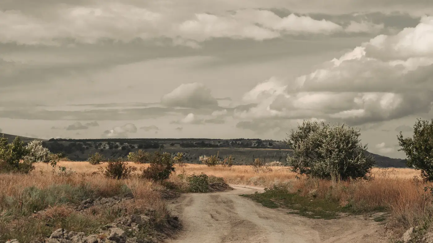
Every resurvey cycle has one of these. Not the fast-growing fringe where the subdivisions keep eating the pasture, everybody already knows to watch that tile. The quiet one. A township on the far side of the county, maybe, or the stretch along a river that hasn't had a building permit filed in a decade. Low population, low complaint volume, low everything except the thing nobody's tracking: time since last verified.
I pulled an old crew log from a cycle a few years back and found a quadrangle that had gone nineteen years between field visits. Nineteen. The cycle runs on a grid and a calendar, and that tile's number kept coming up last, year after year, while the busy corridors got bumped to the front for the third time running. Nobody's job was to notice the gap. The gap was just the shape the schedule left behind.
Quiet corners aren't static. They change on a slower, less legible clock. A reservoir draws down two feet a year during a drought stretch and the old shoreline on the basemap stops meaning anything. A logging operation works a tract for three seasons and the forest edge walks back a quarter mile, or a county road gets rerouted around a washout and the old alignment sits on the sheet for a decade because nobody flagged it and nobody was due to drive it. None of this shows up as an emergency. It shows up, eventually, as a surveyor standing in a field holding a tablet that disagrees with the ground, wondering how long that's been true.
Ask a crew chief how long it's been, and the number is usually bigger than what's printed on the cycle sheet.
This is the part of the job that doesn't get talked about much outside the office, and it isn't really a failure of anyone's work. A fixed cycle has to put tiles somewhere, and it's rational to weight the fast-changing places. The problem is that "fast-changing" and "due for a look" become the same filter, and the slow corners fall out of the conversation entirely. They get skipped by default.
For agencies willing to try it, the backlog gets sorted by a different question now. The question is which tiles show current imagery disagreeing with what's on the sheet, no matter whose turn it was on the calendar. That's a different sort through the same backlog. A busy suburban tile that got walked eighteen months ago and genuinely hasn't moved much since drops down the list. A sleepy rural quarter-section that hasn't been touched in a decade, but where the water line or the tree line or the road centerline has quietly drifted, moves up. National Change Alerts is built around exactly that comparison, a running list of tiles flagged by disagreement between current optical coverage and the basemap, rather than by calendar position.
None of this replaces the judgment a crew lead brings to a field season. It just changes what the queue is made of before anyone starts making calls. The quiet corner still needs a human to walk it, confirm what the imagery suggests, and decide if the discrepancy is worth a full resurvey or just a line edit. But at least the corner gets noticed on the basis of what's different on the ground, not on the basis of when its number happened to come up.
If your worklist still runs on the grid-and-calendar logic, it might be worth checking what's hiding in the corners that never complain.