The four-hour round trip to confirm nothing changed
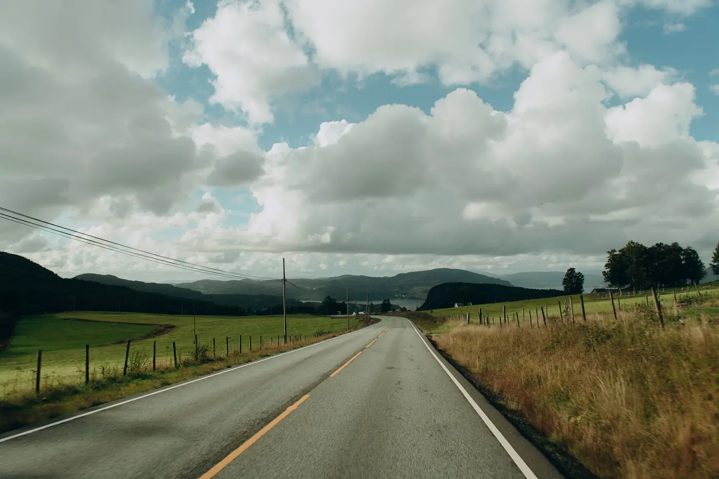
Every update lead has a version of this story. A two-lane county road, maybe a bridge rail, flagged for scheduled resurvey because it's year three of a five-year cycle and the box needs checking. Crew gets the work order, loads the truck, drives three and a half, four hours out past the last town with a stoplight. They walk the segment, shoot a few confirmation points, check the rail height against the old file.
Nothing's moved. Not a foot of pavement, not a culvert, not a fence line. They drive four hours back and file a report that says, in so many words, "road still there."
Nobody tells that story at the GIS conference. It doesn't go in the annual report. But ask around the break room and you'll hear three more just like it before lunch: a timber bridge in the middle of nowhere that outlived the maintenance crew that built it, a rural intersection that hasn't been touched since the county repaved it with the last highway bill, a stretch of frontage road next to a quarry that closed a decade ago. All scheduled. All confirmed unchanged. All at mileage rates and a day of per diem.
This isn't a story about lazy planning. Fixed-cycle resurvey exists for a reason, it's the only way to guarantee nothing falls through the cracks when you've got no other signal telling you where to look. The problem is that the cycle doesn't know the difference between a road that's being torn up for a new interchange and a road that's been sitting there, unchanged, since Eisenhower. It treats them the same because treating them the same is the only thing a calendar can do. A calendar doesn't know what happened to the ground. It just knows how much time has passed.
So the crew drives out anyway, because the alternative is worse: the segment that doesn't get checked turns out to be the one where the county rerouted traffic around a washed-out culvert eighteen months ago, and now there's a complaint sitting in someone's inbox about a 911 dispatch that sent an ambulance down a road that doesn't exist anymore. Update leads have been burned by that enough times that overchecking feels like the responsible choice. Four wasted hours beats one missed change, every time, when the alternative is explaining to your director why the basemap still shows a road nobody's driven on since the flood.
But "responsible" and "efficient" aren't the same word, and crew time is the scarcest resource in most shops this size. Every four-hour round trip to confirm nothing happened is a four-hour round trip that didn't go to the segment where something genuinely did happen. Tiles that got a new subdivision, a realigned interchange, a logging road punched through for a new parcel, those sit in the queue behind the unchanged ones because the schedule doesn't rank by likelihood of change. It ranks by whose turn it is.
What update leads need is a way to tell, before the truck leaves the lot, which segments are worth the drive. That's the whole idea behind a change tile index built from continuous satellite coverage instead of a resurvey calendar: compare what's on the ground now against what the basemap says, flag the tiles where the two disagree, and leave the rest alone until something actually moves. The unchanged road stays unchanged. Nobody has to drive four hours to prove it.
The crews still do the driving and still do the fieldwork, confirming change on the ground is still a field job. But the worklist stops sending them to confirm the absence of news. If any part of your resurvey schedule is still built around "it's been three years" rather than "something moved," National Change Alerts is worth a look.