GSD 0.5 m vs 2 m: what each resolution actually catches on a national basemap
Every revision program eventually has the same argument in a budget meeting: do we pay for 0.5 m imagery everywhere, or stretch the coverage with 2 m and accept we'll miss some things? The honest answer depends on what "missing some things" costs you, and that depends on which feature classes you're tracking.
What 0.5 m picks up
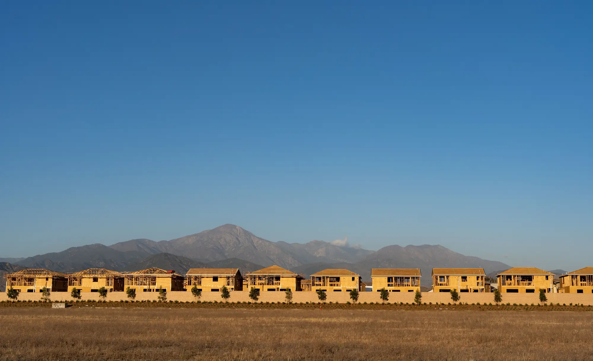
At 0.5 m ground sample distance, a single pixel covers about the footprint of a dinner table. That's enough to resolve individual buildings, including infill structures going up on a lot that was vacant last cycle. You can make out driveway connections, narrow farm tracks, field boundary shifts of a few meters, small outbuildings, and the kind of incremental edge-of-town sprawl that a 1:10,000 or 1:25,000 scale basemap is supposed to carry faithfully. It also catches things your revision spec probably calls minor but your users notice immediately: a new footbridge, a widened driveway apron, a shed that became a two-story addition.
The tradeoff is data volume and cost per square kilometer. Running continuous 0.5 m coverage over an entire national territory, updated on a tight cadence, generates a lot of imagery to store and a lot of tiles to review even when nothing changed.
What drops out at 2 m
At 2 m GSD, a pixel is closer to the size of a small room. That resolution is still perfectly good for what it's good for: new subdivisions, highway realignments, reservoir and shoreline changes, large-scale land clearing, quarry expansion, and anything else where the change footprint runs into hectares rather than square meters. If your basemap scale is 1:50,000 or smaller, a lot of what 0.5 m resolves falls below your minimum mapping unit anyway, so you're not losing anything you'd have symbolized regardless.
What you do lose is the early signal. A single new house doesn't register at 2 m until it's joined by a dozen neighbors and the cluster reads as a change blob. By the time 2 m imagery flags a developing area, the ground truth has often moved past what a single survey pass can capture cleanly, and field teams end up doing more cleanup work per visit than if they'd caught it earlier.
Matching resolution to your revision scale
The practical rule most revision leads land on is to let the basemap scale and the feature classes in your spec set the floor, not the other way around. If your largest-scale product carries individual structures and local road network detail, 0.5 m is doing real work and 2 m will leave gaps your users file complaints about. If your national basemap tops out at 1:50,000 and the feature classes are limited to major infrastructure, administrative boundaries, and large land cover classes, 2 m at a higher cadence often finds more real change per imagery dollar than 0.5 m run less often.
Most agencies carry multiple basemap scales off the same source data, and each cycle forces a tile-by-tile call on which tiles need the finer GSD. Making that call by hand means someone already has to know where the change happened before they can decide how closely to look at it.
This is the part a fixed resurvey cycle can't solve on its own, no matter which GSD you standardize on. What closes the gap is comparing continuous imagery against the current basemap layer and surfacing a continuously updated worklist of changed tiles, so field capacity goes to the tiles where the ground moved, at the resolution those tiles need, instead of a blanket pass at one GSD across everything.
If you're trying to figure out where this cycle's survey budget should go, National Change Alerts is built around exactly that worklist.