New construction or just leaf-off season? Reading change tiles right
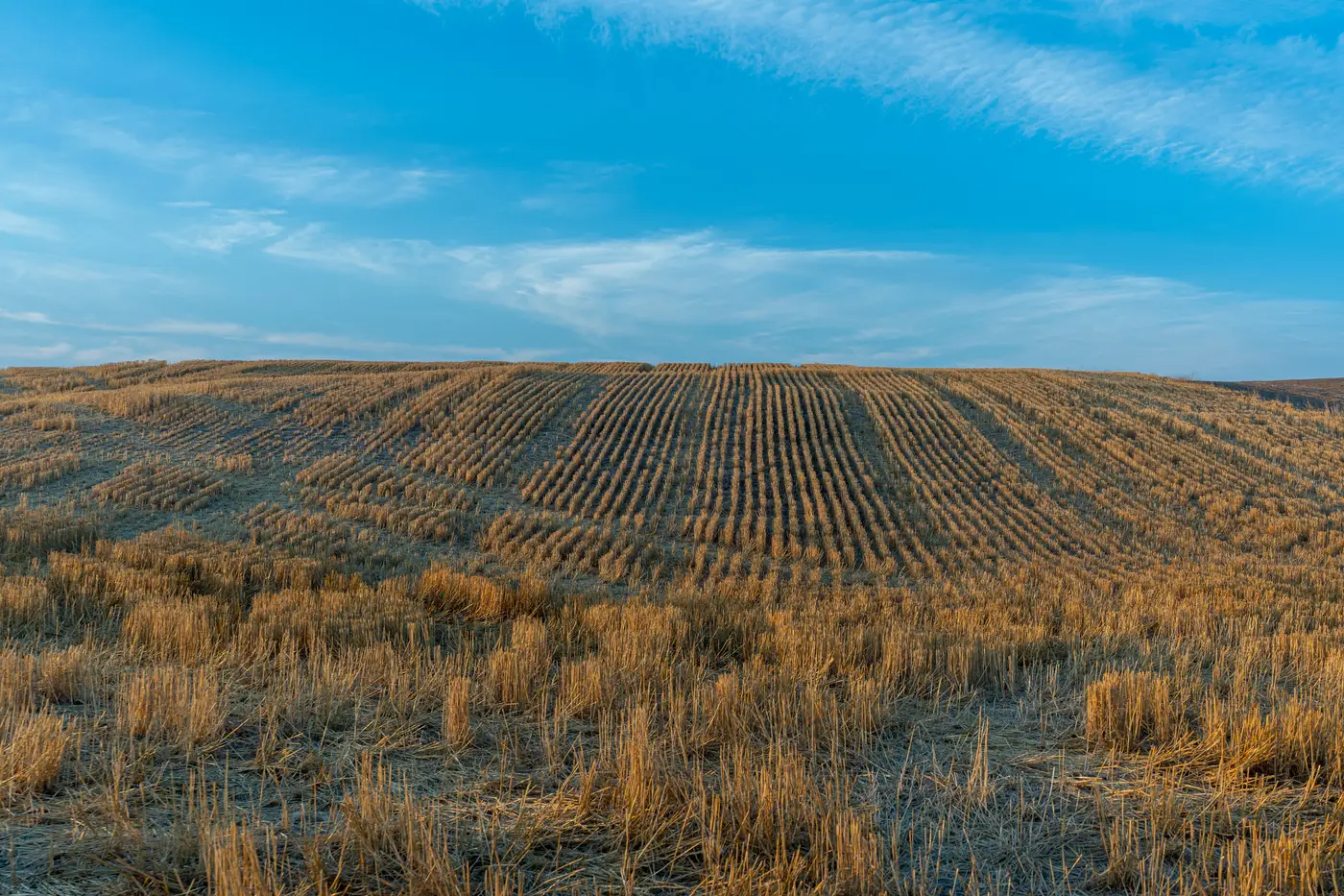
Every change-detection layer eventually hands a cartographic lead a tile that looks alarming and turns out to be a soybean field that got harvested, or a stand of deciduous trees that dropped its canopy between the spring pass and the autumn pass. Before a survey crew ever gets dispatched, someone has to decide whether that pixel shift is a new subdivision or just October doing what October does.
The two kinds of change rarely look the same once you know what to check. A raw change score, by itself, won't tell you which one you're looking at. It tells you reflectance shifted between two passes, not why, and that gap is where false positive tiles pile up on a worklist.
What seasonal change looks like on a tile
Vegetation change has a signature, and it's mostly about shape and uniformity. A field going from green crop to bare stubble changes reflectance across the whole parcel at once, following the exact boundary of that parcel, because farming follows property lines. A deciduous canopy loss does the opposite: it's patchy and irregular, following tree crowns and drainage, not survey lines.
Neither of those looks like construction. A graded pad, a new road segment, a cul-de-sac going in, these show up as hard-edged, geometric shapes that didn't exist before: straight lines, right angles, cleared rectangles sitting inside what used to be continuous vegetation or open ground. Nature doesn't draw right angles. Subdivisions do.
The other tell is persistence. Pull three or four capture dates spanning different seasons before trusting a single alert pair. A field that's bare in November and green again by May is seasonal, full stop. A graded pad that's still a graded pad in May, and now has foundations poured, is real. This is the single most reliable gut-check a desk reviewer has, and it costs nothing but pulling an extra pass.
Setting your change score threshold without drowning in false positive tiles
This is where most agencies either send crews chasing crop rotation or miss an actual annexation because the threshold was tuned too conservative. A change score on its own is a magnitude measure. It doesn't distinguish a cause. Farmland under rotation, mowed verges, and storm damage to a windbreak can all post scores just as high as a new warehouse pad, so filtering on score alone will always let seasonal noise through.
Pairing the score threshold with a geometry check before anything goes on the field worklist cuts that noise further. Tiles where the changed area tracks an existing parcel boundary and shows uniform reflectance change across the whole shape get bucketed as probable vegetation or agricultural cycling. Tiles where the change introduces new hard edges, new impervious surface, or a footprint that wasn't there on any prior pass get bucketed as probable topographic revision and move up the queue. That bucketing is rough, but it strips out the obvious false positive tile volume before a human ever opens the image.
Layering in a minimum area filter helps too. A two-pixel flicker at the edge of a tree line is almost never worth a field trip; a cleared rectangle the size of a building pad is.
Why this matters for the worklist, not just the map
The point of running this triage is keeping survey days off tiles that will look identical again once the growing season turns over. A desk reviewer who can rule out seasonal cycling in thirty seconds, using persistence across passes and shape geometry, keeps the field roster pointed at tiles where something on the ground changed for good. That's the whole point of running a continuously updated worklist instead of walking the entire map on a fixed cycle, which is what National Change Alerts is built to hand you: a ranked list of tiles where the basemap and the ground have actually diverged, not a raw diff you still have to argue about in a staff meeting.
If your current resurvey cycle is mostly re-confirming the same bare fields every autumn, it might be worth seeing what a change tile index looks like for your coverage area.