Satellite or aircraft: choosing an imagery source for topographic revision
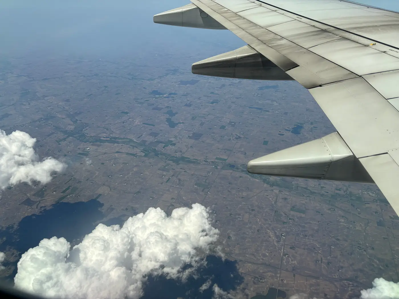
Most revision programs still run on the assumption baked into the flight plan decades ago: fly the whole country (or the whole province) on a fixed cycle, aerial camera, fixed-wing aircraft, and update the basemap tile by tile as the imagery comes in. That assumption is worth re-examining now that continuous optical satellite coverage is good enough to use for change work, not just for a pretty backdrop layer.
Neither source is wrong. They're built for different jobs, and a lot of revision backlogs exist because an agency is using the wrong one for the job it has this year.
What aerial photography still does better
Aerial photography wins on resolution when you need it. A camera at low altitude gets you well under 0.5 m GSD, sometimes down to a few centimeters, which matters for final-pass cartographic detail: curb lines, narrow footpaths, precise building footprints for cadastral-adjacent work. It also gives you full control over timing within a flight window. You scope the flight, you choose the sun angle, you fly it.
Getting that control costs time before a single frame is shot. You book the aircraft and crew, file for airspace clearance, and wait for a weather window wide enough to cover the block. A 50,000 km² block can take a season of flying, and if cloud or smoke closes the window partway through, the remainder slips to the next one. For a scheduled, once-per-cycle revision of a whole mapping sheet, that's a known and budgeted cost. For finding the handful of tiles where something changed since last cycle, it's a very expensive way to go looking.
What satellite optical coverage does better
A high-resolution optical satellite constellation revisits continuously. It doesn't need a flight plan drawn up for your AOI; it's already passing over. At 0.5–2 m GSD it won't replace the final cartographic pass for fine detail, but it's more than enough to tell you that a tile's road network, built-up footprint, or water edge no longer matches what the basemap says. That's a different question than "what does this parcel look like at centimeter detail," and for a revision program, it's often the more urgent one.
The practical upshot: satellite imagery is the better source for finding where to send survey, and aerial photography (or ground survey) remains the better source for capturing final revision detail once you're there. Treating them as competing choices for the same task is where a lot of resurvey cycles waste both flight hours and field days, walking tiles that haven't changed at all because the fixed cycle said it was time.
Comparing the two for a revision workflow
| Optical satellite | Aerial photography | |
|---|---|---|
| Cadence | Continuous | Scheduled, per-cycle |
| Mobilization | None, already tasked | Aircraft, crew, clearance |
| Typical GSD | 0.5–2 m | Sub-0.5 m achievable |
| Best use in revision | Spotting change, prioritizing tiles | Capturing final detail on confirmed changes |
| Weather exposure | Per-pass cloud risk, high revisit smooths it out | Season-long window risk |
If your agency's bottleneck is deciding where the next resurvey effort should go, rather than how precisely to capture it once you're there, satellite-based change detection against your current basemap is the piece worth adding. National Change Alerts builds exactly that layer: continuous high-resolution optical coverage compared against your basemap, delivered as a change tile index with tile IDs and change scores, so a crew gets routed to the tiles that actually moved instead of re-walking the whole sheet on the old fixed cycle.
The two imagery sources aren't really in competition once you split the revision workflow into "where changed" and "what it looks like now." Satellite answers the first question on a running basis. Aircraft, when you fly it, answers the second.
If a fixed resurvey cycle is still driving where your field teams go next, it's worth seeing what a change tile index would have told you instead.